
Research summary · 2020
Using SWAT to Evaluate Streamflow and Lake Sediment Loading in the Xinjiang River Basin with Limited Data
Using SWAT to identify sediment-source hotspots and evaluate streamflow and lake loading under limited data.
Research snapshot
Can SWAT identify sediment-source hotspots and estimate lake loading when watershed data are limited?
SWAT · long-term streamflow and sediment records · sensitivity analysis · calibration, validation, and uncertainty analysis
Targets erosion control toward high-slope orchards, barren land, and mountainous sediment-source areas.
Research Question
Can a calibrated SWAT model identify sediment-source hotspots and estimate sediment loading to Poyang Lake in the data-limited Xinjiang River Basin?
Why It Matters
Monsoon-season soil erosion in the Xinjiang River Basin transports sediment into Poyang Lake and can degrade lake water quality. Managers need spatially specific evidence to target erosion controls, even where long-term watershed observations are limited.
Methods
- Applied SWAT to simulate monthly and annual sediment yield from a calibrated streamflow model.
- Used monthly and daily streamflow discharge records from 1985–2009 and monthly suspended-sediment loads from 1985–2001 at Meigang station.
- Conducted parameter sensitivity analysis, calibration, validation, and uncertainty analysis.
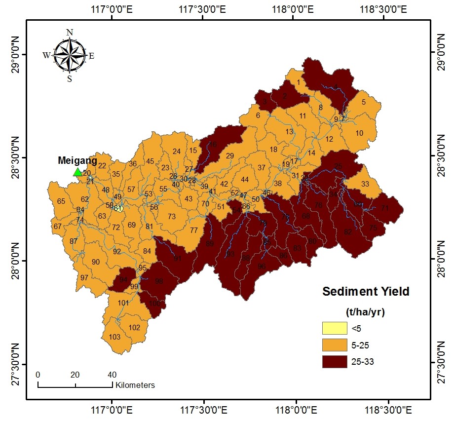
- Mapped sediment sources and evaluated the land-use and terrain conditions associated with high sediment yield.
Key Findings
- Monthly sediment-load calibration produced R² = 0.63, NSE = 0.62, PBIAS = 3.8%, and RSR = 0.61.
- Annual sediment yield ranged from approximately 3 t ha⁻¹ yr⁻¹ on riparian lowlands to 33 t ha⁻¹ yr⁻¹ in mountain highlands, with a basin-wide mean of 19 t ha⁻¹ yr⁻¹.
- Approximately 99.9% of the basin area experienced soil loss above 5 t ha⁻¹ yr⁻¹.
- Southern mountain highlands contributed more sediment than northern highlands.
- Orchards, barren land, and mountain areas with slopes greater than 25° were primary sediment-source hotspots.
My Contribution
As first author, Lifeng Yuan led the SWAT application, calibration and uncertainty analysis, spatial sediment-source assessment, interpretation, visualization, and manuscript preparation.
Practical Relevance
The study shows that a physically based watershed model can identify critical source areas under limited-data conditions, allowing erosion-control measures to focus on the land uses and steep terrain most responsible for sediment delivery to Poyang Lake.
Publication & Resources
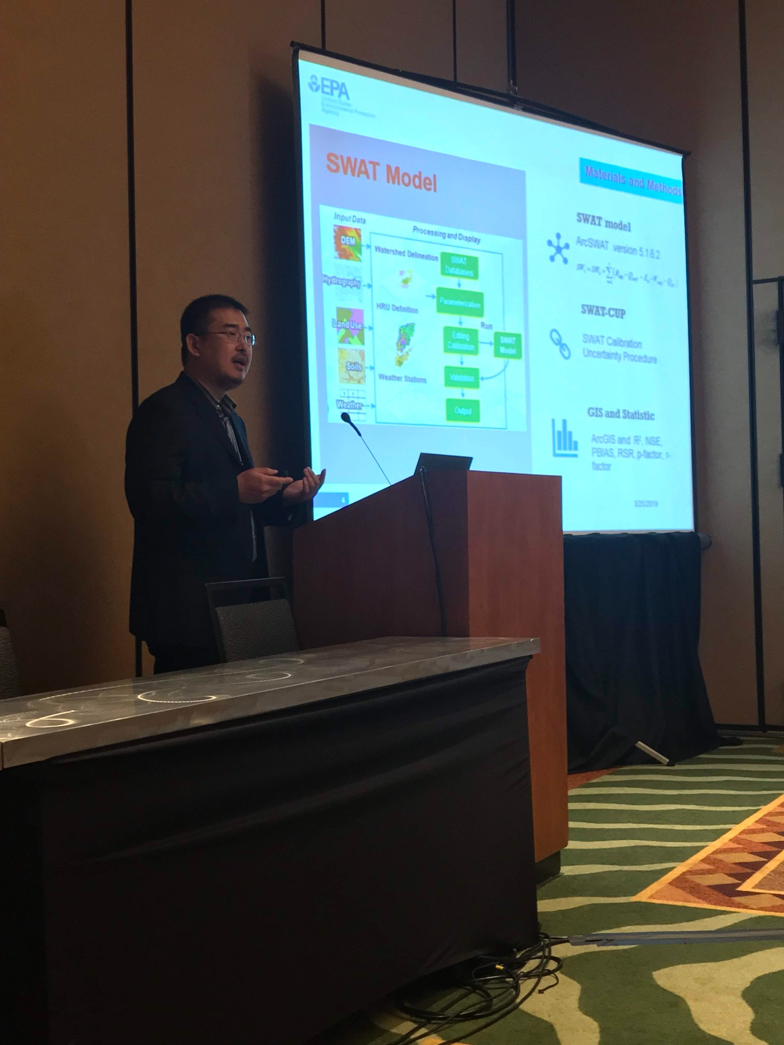
Presented at the 2019 AWRA Spring Specialty Conference, Omaha, Nebraska, March 25–27, 2019.
 Open full-resolution photograph